Even before applying for an Exploration Permit, there is a legal-mining instrument little explored by many companies: the permission for Geological Reconnaissance.
In this article, we will understand how this tool can be important to guarantee the priority right over large areas and reduce the risks of your investment.
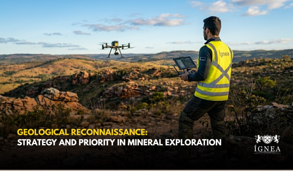
What is Geological Reconnaissance?
Unlike the Exploration Permit, which focuses on defining the deposit and its viability, Geological Reconnaissance is a regional and preliminary investigation. It is performed almost exclusively through aerial prospecting methods (aerial surveys).
The objective is to obtain a “geological photograph” of large areas to identify anomalies and structures that will guide the preparation of future exploration applications.
The Priority Right
The greatest strategic advantage of this permission lies in the Priority Right. Upon obtaining authorization from the National Mining Agency (ANM), the titleholder guarantees exclusivity over the region for a period of 90 days, counted from the publication in the Official Gazette of the Union (DOU).
During these three months, the area is “reserved”. This is the time the company has to analyze the collected data and decide exactly where to file its Exploration Permit application. If the deadline expires without the exploration application, the area is once again considered free.
Geological Reconnaissance vs. Exploration Permit
It is common for there to be confusion between these two terms, but the differences are fundamental for logistical planning:
| Feature | Geological Reconnaissance | Exploration Permit |
| METHOD | AERIAL (Geophysics/Aerial Survey) | TERRESTRIAL (Drilling/Sampling) |
| SCOPE | REGIONAL (Large areas) | LOCAL (Specific polygon) |
| DURATION | 90 DAYS (NON-RENEWABLE) | 2 TO 3 YEARS (RENEWABLE) |
| REQUIREMENTS | ANM + EMFA | ANM + ENVIRONMENTAL LICENSING |
Why invest in this stage?
- Cost Reduction: Avoids the payment of exploration fees (emoluments and annual fee per hectare) over immense areas that may not have potential.
- Agility: Allows covering thousands of hectares in a few days of flight.
- Legal Security: Protects the intellectual investment of the company while it still evaluates the viability of the region.
Geological Reconnaissance allows the miner to “see” the subsoil before committing to the strict deadlines and obligations of an exploration permit.
📷 Generated by AI