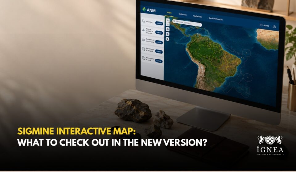
The National Mining Agency (ANM) released a new version of the SIGMINE Interactive Map on October 1. The tool, which provides geospatial consultation of mining tenements, was officially launched in 2001. According to the Agency, the update expands its analytical capacity and improves the user experience.
The main novelties highlighted by the Agency:
- Direct access to other ANM geoinformation products;
- Downloadable polygons of the mining tenements in process at the Agency, in formats compatible with geographic information systems (GIS).
When we consulted the tool, we saw that direct access appears in a side panel with shortcuts to the SIGMINE Portal, the Mining Registry System (Sistema Cadastro Mineiro), the polygon download, Mining Distribution (Distribuição da Mineração), Mining Dams (Barragens de Mineração) and Availability of Areas (Disponibilidade de Áreas). On the download page, files are organized by territorial extent (Brazil, Exclusive Economic Zone and states) and offered in SHP and KML formats.
What You Can Do on the Platform
- View, query and cross-reference spatial data;
- Search, measure, convert coordinates and draw;
- Run spatial queries and generate interference reports;
- Add your own geospatial data.
Who This Matters To
Viewing, querying and cross-referencing spatial data help both internal and external users with technical analyses and decision-making. Anyone evaluating an area before applying for, assigning or buying a mineral right can query, measure and cross-reference it with tenement polygons. The tool is managed by the Geoinformation Management (GEGEO), part of the Mineral Economics and Geoinformation Superintendence (SEG).
Before making any decision about an area, confirm the information in ANM’s official systems, such as the Mining Registry, and seek specialized technical support.
To learn what SIGMINE is and how to interpret its data, read our article SIGMINE: A Strategic Tool for Accessing and Interpreting Geospatial Data. To look up the data of a tenement, read What the Mining Registry Reveals (and What It Doesn’t) About a Mining Tenement.
Source: National Mining Agency (ANM), October 1, 2026.
AI-Generated Image