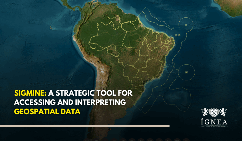
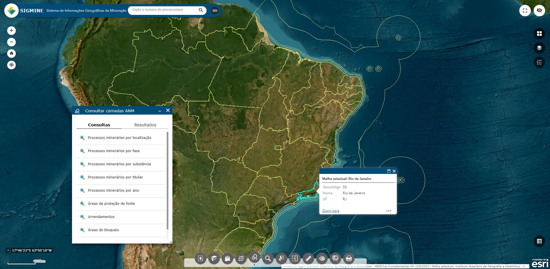
The Geographic Information System for Mining, or SIGMINE, is an online geospatial platform developed and maintained by the National Mining Agency (ANM) that, when used strategically, transcends the function of a simple digital map and becomes an intelligence tool for the planning and management of mining projects.
Its main objective is to provide transparency to the agency’s spatial data, allowing users to visualize the location and details of active mining processes. Its utility lies in providing a complete and centralized geographic overview for the consultation and initial planning of areas of interest.
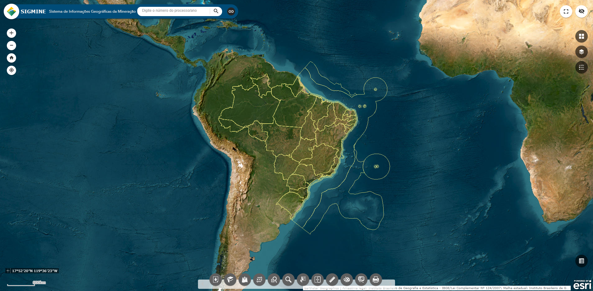
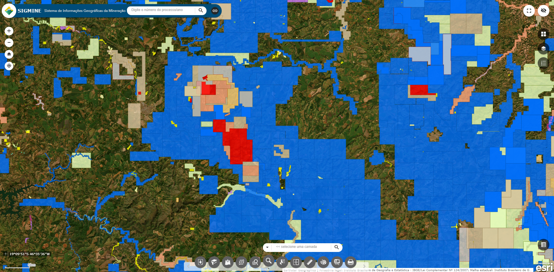
How can SIGMINE be used strategically? By aggregating spatial data from the ANM itself and from other federal entities, such as conservation areas, indigenous land boundaries, and transport data, SIGMINE allows professionals to perform a preliminary analysis of viability and risks. The ability to visualize the location of mining processes and identify areas with potential legal or environmental restrictions in a single interface speeds up the decision-making process, allowing the holder of a mining right to optimize their time and resources. The platform also allows the use of various tools that make it a strategic planning resource.

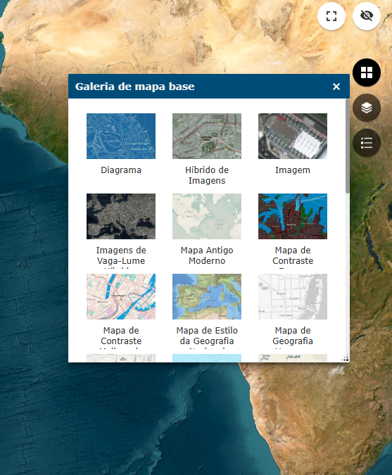
Users can perform searches and measure distances, in addition to generating preliminary reports on areas of interest. The system is composed of a base map over which multiple layers of information are superimposed, enabling the creation of a personalized map with only the information the user needs. It is possible, for example, to simultaneously visualize the location of a mining concession, inland rivers and water bodies, environmental protection areas, and access routes, allowing for a complex analysis of potential opportunities and restrictions.
One of the tools that make up the platform is the ability to download data on active mining processes in formats such as shapefile and KMZ, which can be imported into other geoprocessing software for more in-depth analysis, such as scenario modeling and integration with other technical data from the project.
Points of Relevance
One must, however, understand SIGMINE’s limitations. The ANM itself declares that the system has a merely informational character. This means that, although it is an excellent source for consultations and visualizations, the data has no legal value and does not replace the use of pertinent official instruments.
Relying on SIGMINE for producing legal effects is an error that can result in significant losses. The online nature of the system also subjects it to periods of unavailability, a fact that the ANM itself documents in its reports. The management of a mining project cannot depend exclusively on a digital platform, and consulting official documents through the ANM’s Digital Protocol is an essential step for validating any information.
SIGMINE’s relevance, therefore, does not replace formal consultation and data validation from primary sources.
The SIGMINE system is part of a series of ANM systems that provide information on mining processes. Read about all of them by clicking here.
📷Reproduction/Edition by ÍGNEABR